BS:5837 Tree survey

The British Standard ‘BS 5837:2012 – Trees in Relation to Design, Demolition and Construction’ is used by Local Authority Planning Officers/Tree Officers when considering planning applications and it sets out the requirements for the survey process.

What is involved in a BS:5837 survey?
  • A full survey comprises two stages: Feasibility and Planning, followed by a Final Report.
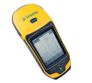
  • Following discussion with you about the development proposal, we will visit the site to measure and map the relevant trees. For speed and accuracy, we use a Trimble Geo 7x, GPS system which is accurate to sub-500mm.
  • The data are then plotted using MapInfo Professional GIS software that ensures accurate mapping and compatibility with design software such as AutoCAD.
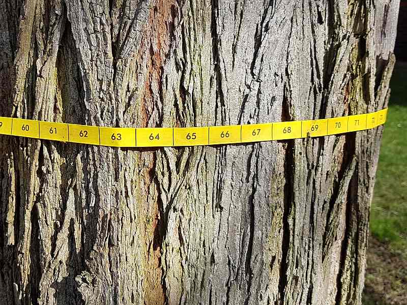
Image of tape measure around a tree

  • We will then provide a concise Tree Constraints Plan’ setting out the necessary Root Protection Areas (RPA) and Construction Exclusion Zones (CEZ), to inform decisions about which trees are to be removed and which are to be retained.
  • Once the design has been agreed, we will produce a final report setting out the details of the protection and safe-working methods to be used for the project.
  • This report is submitted to the local authority.
Image of a Trimble Geo 7X